
Les barrières horaires peuvent être modifiées par l'organisation.
samedi 10 août 2024
Morzine (74)
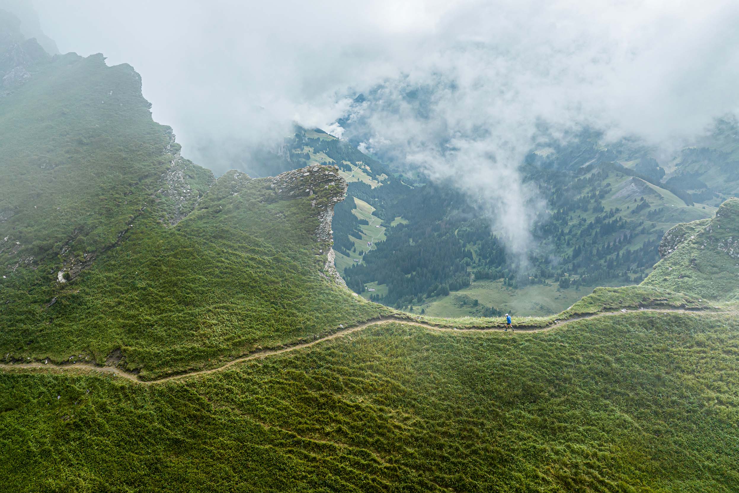
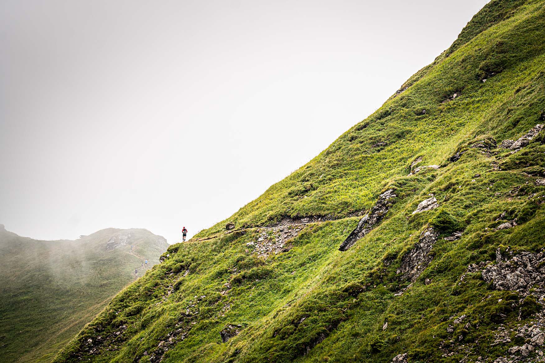
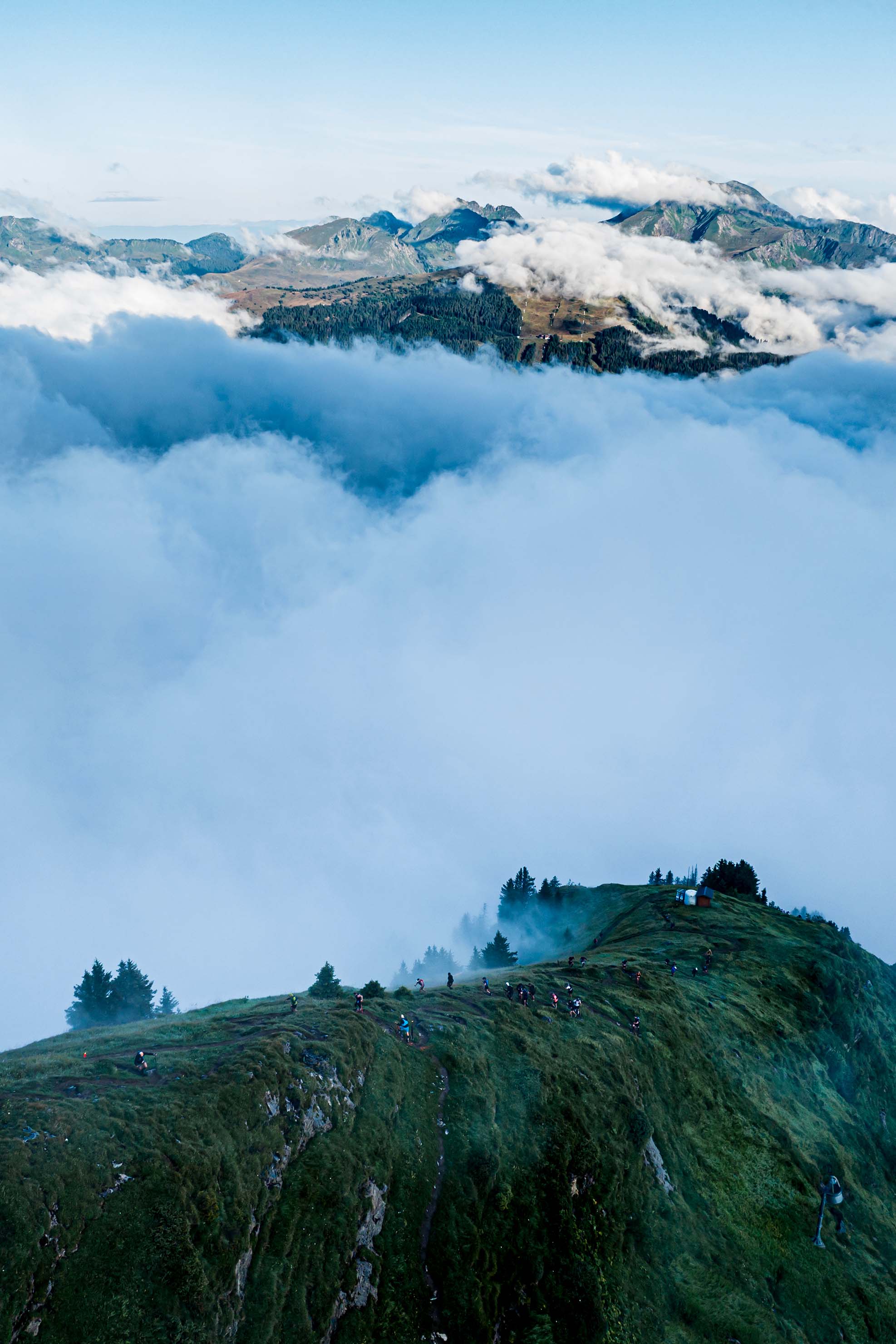
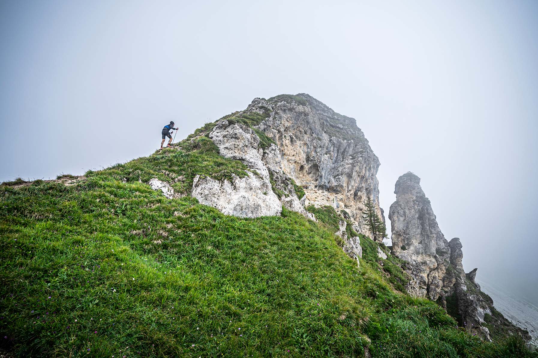
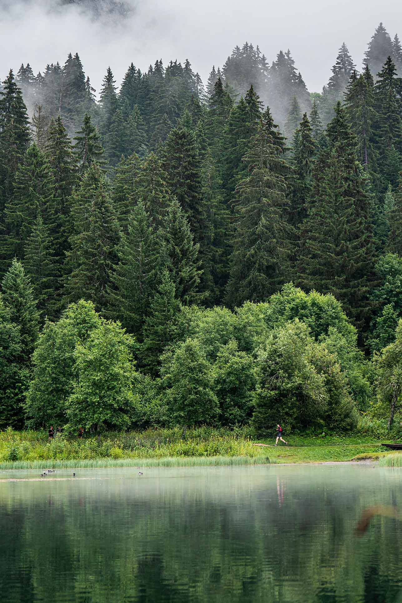
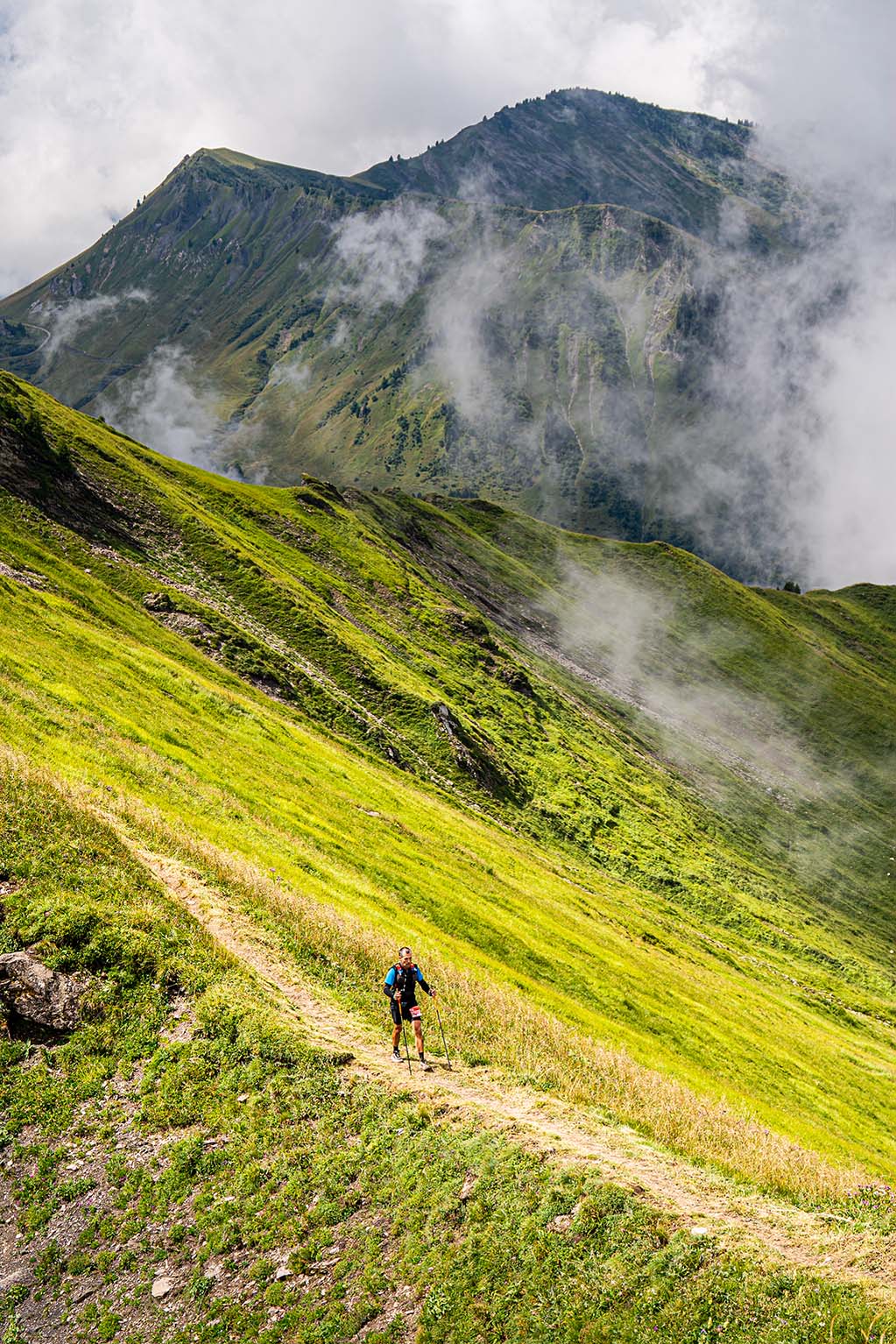
Parcours de montagne reliant Morzine à Avoriaz (1800m), le Trail des Hauts Forts vous emmène dans les plus beaux panoramas des Portes du Soleil. Des alpages aux sommets, en passant par les crêtes et cols frontaliers de la Suisse, la diversité des paysages et des terrains permettra à l'ensemble des participants de profiter d'une belle journée aux Portes du Soleil.
Afficher la carte en plein écran
Trail des Hauts Forts
samedi 10 août 2024
 51.73 km
3815 m
2984 m
51.73 km
3815 m
2984 m

Relais des contrebandiers - Relais 1
samedi 10 août 2024
27.16 km
1897 m
1476 m

Relais des contrebandiers - Relais 2
samedi 10 août 2024
24.54 km
1920 m
1511 m


 Trace de Trail